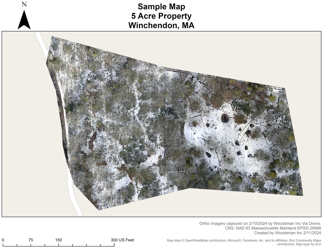
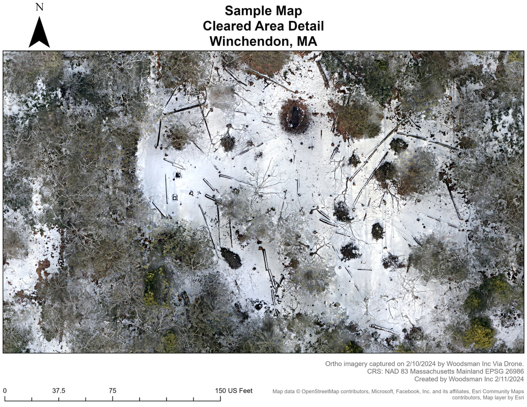
We are happy to announce that we are now offering aerial photography and mapping! We are able to provide you with standard aerial images and video of your property. In addition, we can also provide you with a spatially accurate orthomosaic aerial of your property. This means the aerial photo can be used for mapping purposes within your GIS software of choice! Get in touch with us for details.
We have experience with both ArcGIS and QGIS and can also offer
- Spatial Data Analysis
- Creation of Raster and Vector data for your organization
- Custom Mapping Solutions of your property